On the 1st of April 1915, the Italian Army, based on its experience on the French front, set up the Gruppo Squadriglie Aviatori per l’Artiglieria (Group of Aviator Squadrons for Artillery), which would be responsible for reconnaissance and fire direction, introducing what was to become the most important use, for the duration of the war, of the aeroplane. Increasingly, aeroplanes became instruments of primary importance, no longer only for the identification of the adversary’s defensive preparations and movements through cartographic and photographic surveys carried out in flight, but also for fire direction, a task for which increasingly-effective systems, for communication to the ground on the targets to be beaten and the corrections to be made, were gradually refined.
For the first time, cities and entire territories were reproduced on a very large scale. The human and mechanical eyes progressively perfected the methods of surveying but above all their translation, which had to be as simple, effective and immediate as possible. The view from above then changes depending on whether one is observing in motion or from a stationary position, moving from zenithal or perspective shots gradually perfected with automatic and sequential cameras, to panoramic shots.
To close the prying eye that from above could now catch everything, positions, movements, shelters, stores, became at that point a priority objective of what was to become the “prima donna” of the sky: fighter aviation. Observation planes and braked balloons became the most important targets for fighters in a sort of a cat-and-mouse game that did not quite coincide with the image of acrobatic duels between equal opponents.
Today, aerial reconnaissance photography is an important and extraordinary resource also for learning about the evolution and transformation of land, whether due to natural changes or to the more or less sustainable interventions by human hand.
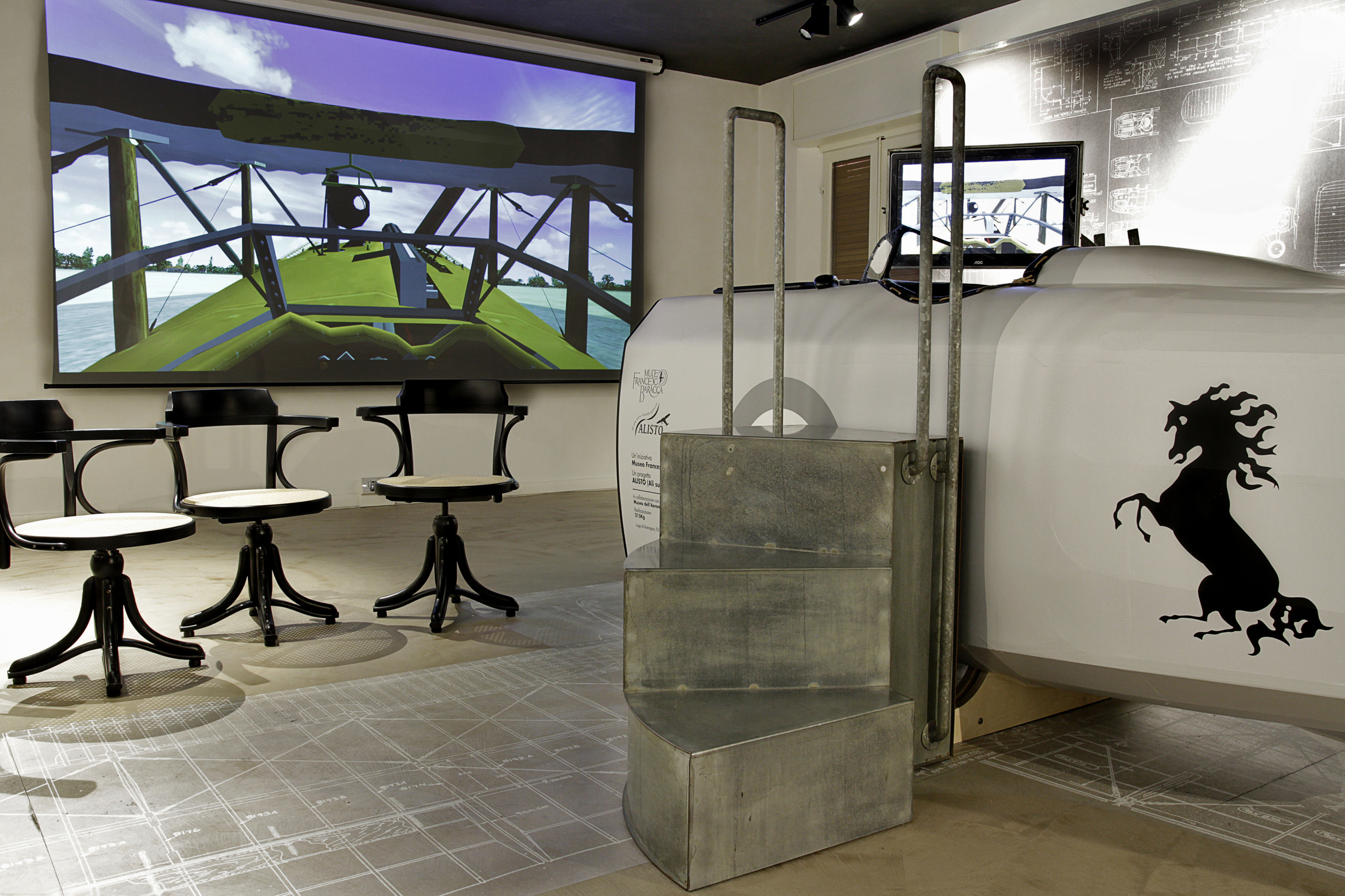
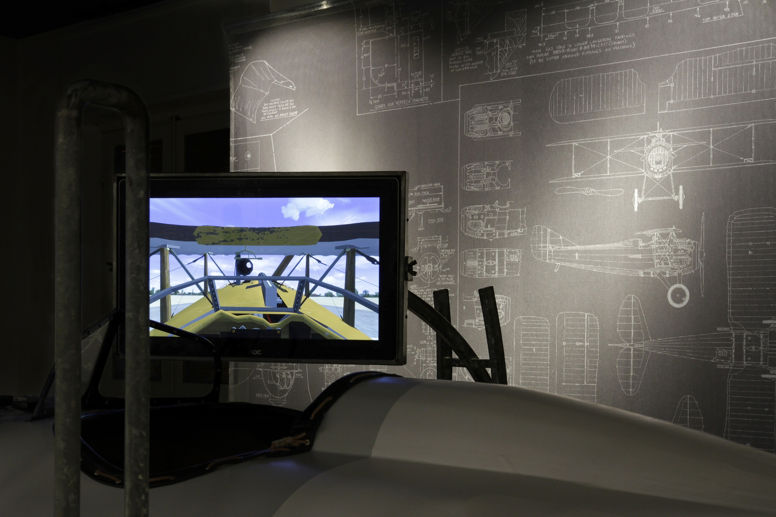
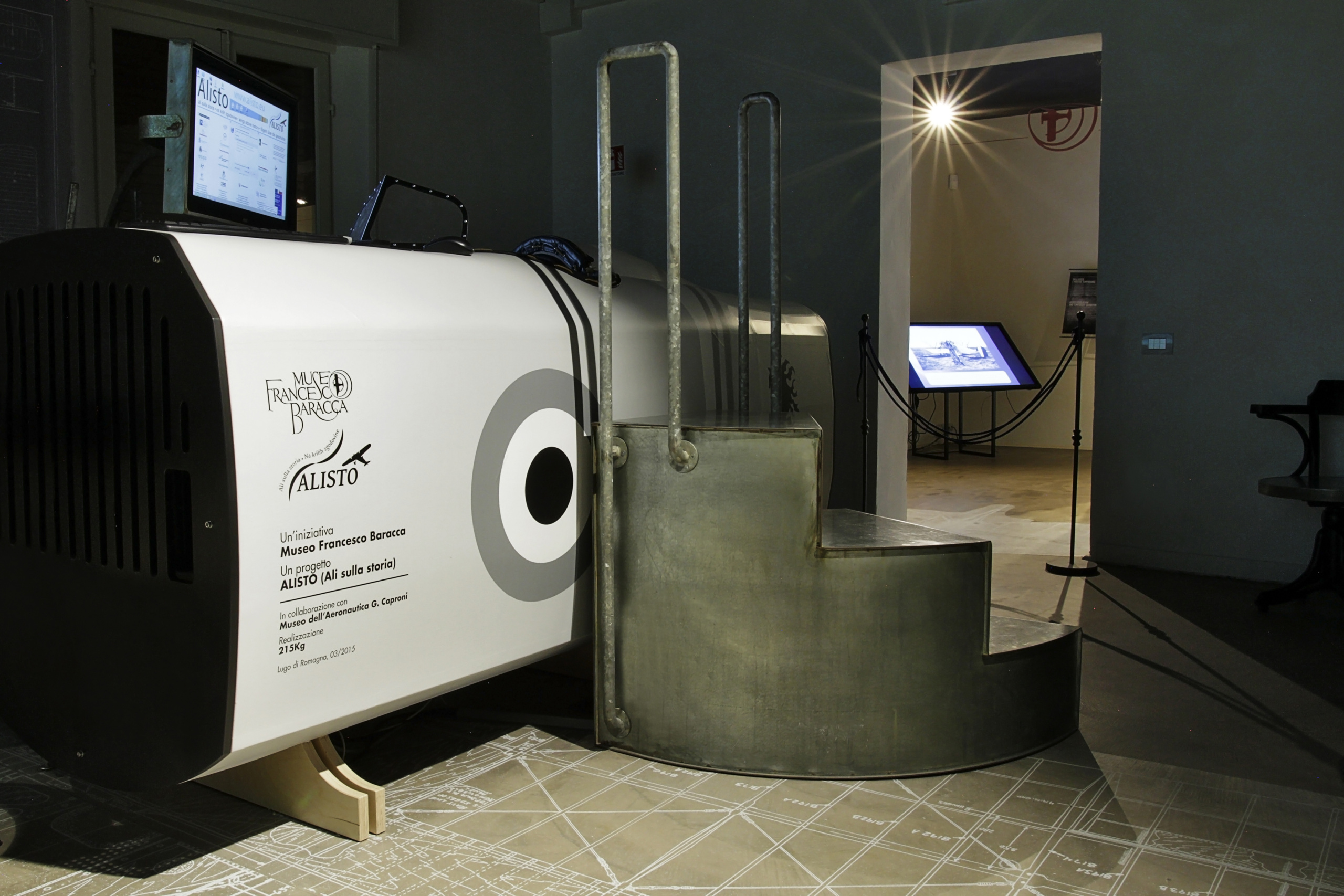
Thus, by juxtaposing images taken for quite different purposes between 1915 and 1918 with current orthophotos, it is possible to read about the natural movement of rivers and lagoons, what reclamation and embankments entailed, how areas around cities were transformed. To fly over the First World War battlefields of the Italian Eastern Front, overcoming borders and cultural barriers, in order to learn about and enhance the historical-architectural-landscape heritage: this is the theme of the Interreg Italy-Slovenia project “ALISTO – Ali nella storia” (Wings over history), implemented with a synergy between historical research and development of software technology for flight simulators, which allowed the reconstruction of the cross-border historical landscape through the mapping on the digital terrain model (DTM) of Italian and Austro-Hungarian war aerial photographs.
The project, financed by the Interreg Italy-Slovenia programme, led by the Province of Treviso, had as partners the Regional Directorate for Cultural and Landscape Heritage of Friuli Venezia Giulia Region (Ministry of Cultural Heritage and Activities and Tourism), the Marco Polo System g.e.i.e. from Venice, the Municipalities of Monfalcone and Lugo di Romagna, and on the Slovenian side the Ustanova “Fundacija Poti miru v Posocju” from Kobarid/Caporetto, the Regional Development Agency of the North Coast from Nova Gorica and the Municipality of Divaca.
With the available aerial reconnaissance photos, a good coverage of the Piave and Isonzo rivers, the coast from Trieste to Grado, the Venetian coast, the Karst plateau, the main front and rear cities has been achieved. With these documents, a flight simulation programme was created that allows, in the various host locations, including the Francesco Baracca Museum in Lugo, the thrill of flying over the Great War fronts of the Isonzo and Piave rivers, having the possibility of simultaneously flying over the same territories as they are today, thus allowing to highlight some of the transformations undergone by our territory over the course of a century, with particular reference to the coastlines, the course of the rivers, the lagoon systems, the ports, the industrial and inhabited centres, and the civil and military infrastructures.
The database is the result of extensive research in the most important Italian and Austrian archives visited, both public and private.